Engineering Drone Services
Specialized aerial services for engineering and industrial applications.

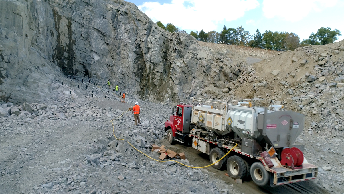
Structural and Area Inspections
Access and perspective offered by drones make them a perfect tool for safe and cost-efficient structural inspections. Comprehensive aerial inspections of industrial facilities, equipment, and infrastructure to identify maintenance needs, safety issues, and operational improvements.
- Safe and cost-efficient inspections
- Structural integrity evaluation
- Equipment condition assessment
- Maintenance planning
Thermal Imaging
Our thermal camera drones feature fully stabilized Flir and regular camera, giving you live side-by-side feed of both the regular and thermal image. Inspect/Repair/Replace decision making made easy! Advanced thermal imaging services for detecting heat loss, electrical issues, and equipment malfunctions that are invisible to the naked eye.
- Live side-by-side thermal and regular feed
- Fully stabilized FLIR technology
- Electrical fault identification
- Equipment monitoring
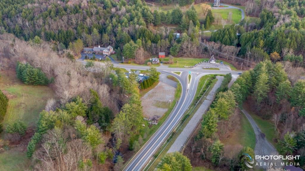
Construction Cycle Monitoring
Construction site progress monitoring and documentation made easy by timely and relevant aerial drone camera imagery. Detailed aerial assessments of bridges, roads, utilities, and infrastructure to evaluate condition, identify issues, and plan maintenance or repairs.
- Progress monitoring and documentation
- Timely and relevant aerial imagery
- Infrastructure condition assessment
- Structural analysis
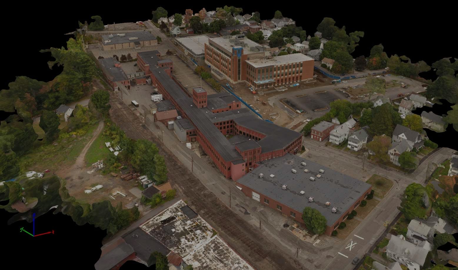
Aerial Mapping & 3D Models
High resolution aerial maps with correct perspective (True Orthomosaic), laser scanner quality 3D point clouds clean from moving objects, full 3D triangle mesh models with photorealistic texturing, and accurate geo-referenced elevation maps (Digital Surface Models) ready for your preferred GIS workflow and volume calculations.
- True Orthomosaic maps
- 3D point cloud generation
- Photorealistic textured models
- Digital Surface Models (DSM)